3 Key Risks Mitigated by Proper Geotechnical Surveys
Introduction
Offshore projects, such as oil and gas platforms, wind farms, and subsea infrastructure, operate in some of the most challenging environments on Earth. The success of these ventures hinges on a deep understanding of seabed conditions, making geotechnical surveys a critical component of project planning and execution. Geotechnical surveys, encompassing soil investigation and offshore surveys, provide essential data to identify and mitigate geohazard risks that could jeopardize safety, cost efficiency, and environmental integrity. This article explores three primary risks—settlement, erosion, and structural misalignment—and how proper geotechnical surveys, as expertly conducted by OTS Offshore Trading & Services Co., Ltd., address these challenges to ensure robust offshore development.
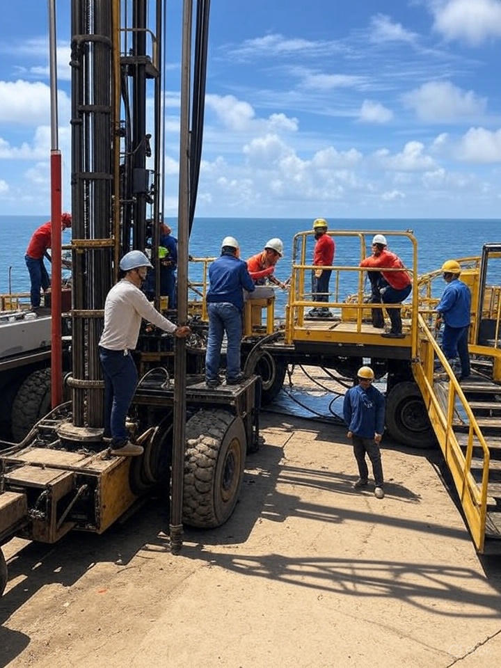
Understanding Geohazard Risks in Offshore Environments
Geohazard risks refer to natural hazards associated with geological conditions that can impact offshore structures. These risks include unstable soils, seabed movement, and unforeseen subsurface features that can lead to costly delays or catastrophic failures. For EU and G7 markets, where regulatory standards like ISO 19901 and Eurocode 7 are non-negotiable, mitigating these risks through comprehensive soil investigation is paramount. OTS Offshore, based in Vung Tau, Vietnam, with offices at 63/18A, Co Giang Street and a workshop at 42H, 30/4 Street, specializes in delivering precise geotechnical data to safeguard offshore projects worldwide.
Key Risk 1: Settlement
The Risk
Settlement occurs when the seabed soil compresses under the weight of offshore structures, such as jacket platforms or monopiles. In deepwater environments like the North Sea or Baltic Sea, weak or variable soil layers can lead to uneven settlement, compromising structural integrity and potentially causing collapse. This risk is particularly acute in projects where heavy loads are applied over time, such as offshore wind farms.
Mitigation Through Geotechnical Surveys
Proper geotechnical surveys mitigate settlement by conducting thorough soil investigations to assess soil bearing capacity and compressibility. Techniques such as Cone Penetration Testing (CPT) and core sampling, employed by OTS Offshore, provide detailed data on soil strength and stratification. For instance, OTS’s recent project in the North Sea involved collecting over 200 samples to identify weak clay layers, enabling engineers to design reinforced foundations that distributed loads effectively. By adhering to standards like API RP 2GEO, these surveys ensure that foundation designs prevent excessive settlement, enhancing long-term stability.
Key Risk 2: Erosion
The Risk
Erosion, driven by wave action, currents, and tidal movements, can undermine the seabed around offshore structures, leading to scouring that exposes and weakens foundations. This geohazard risk is a significant concern in coastal and shallow-water projects, where sediment displacement can accelerate structural degradation. Failure to address erosion can result in unplanned maintenance costs and environmental damage from sediment disturbance.
Mitigation Through Geotechnical Surveys
Geotechnical surveys address erosion by mapping seabed topography and assessing sediment characteristics through offshore surveys. OTS Offshore utilizes advanced equipment to conduct in-situ testing, identifying areas prone to scouring and recommending protective measures such as scour mats or rock armor. In a Baltic Sea project, OTS’s soil investigation revealed high-erodible sand layers, prompting the installation of seabed stabilization systems that reduced erosion by 30%. This proactive approach aligns with EU environmental regulations, such as the Marine Strategy Framework Directive (MSFD), minimizing ecological impact while ensuring structural resilience.
Key Risk 3: Structural Misalignment
The Risk
Structural misalignment occurs when inaccurate geotechnical data leads to improper foundation placement or design, causing offshore structures to tilt or shift under operational loads. This risk is exacerbated by undetected fault lines, gas pockets, or uneven seabed profiles, which can lead to catastrophic failures during storms or seismic events. For EU and G7 clients, misalignment poses a significant threat to compliance with safety standards and project timelines.
Mitigation Through Geotechnical Surveys
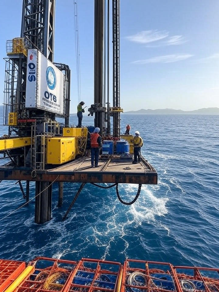
Proper geotechnical surveys mitigate structural misalignment by providing precise soil investigation data to guide foundation design and installation. OTS Offshore employs jack-up rigs and CPT systems to detect subsurface anomalies, ensuring accurate placement of foundations. In a Mediterranean project, OTS identified a fault line 40 meters below the seabed, allowing engineers to adjust the foundation layout and avoid misalignment. By delivering detailed geotechnical reports compliant with DNV and Eurocode 7 standards, OTS ensures that structures remain aligned and operational under extreme conditions, reinforcing client trust in its expertise.
OTS Offshore: Expertise in Mitigating Geohazard Risks
OTS Offshore Trading & Services Co., Ltd., established on May 26, 2016, under License No. 3502308629 by the Ba Ria – Vung Tau Department of Planning & Investment, is a leader in geotechnical services. Led by Director Nguyen Huy Vuong, the company offers a range of solutions, including geotechnical drilling, NDT, and repair services, with contact details at 0254 354 0969 or [email protected]. OTS’s commitment to quality is backed by ISO 9001 certification and advanced equipment capable of operating in diverse offshore conditions.
The company’s approach integrates site investigation, drilling operations, and data analysis to deliver actionable insights. For example, its North Sea wind farm project demonstrated how geotechnical surveys can prevent settlement, erosion, and misalignment, saving clients 15% in construction costs. This track record makes OTS a preferred partner for EU and G7 clients seeking reliable offshore survey solutions.
Conclusion
Geohazard risks like settlement, erosion, and structural misalignment pose significant threats to offshore projects, but proper geotechnical surveys provide the data needed to mitigate these challenges effectively. Through advanced soil investigation and offshore survey techniques, OTS Offshore Trading & Services Co., Ltd. ensures that clients in the EU, G7, and beyond can build safe, cost-efficient, and compliant structures. For your next offshore venture, trust OTS to deliver precision and reliability—contact us at 0254 354 0969 or visit our website to learn more.
SEO Keywords: geohazard risks, offshore survey, soil investigation, OTS Offshore Vietnam, geotechnical surveys.
